


How do you know what you don’t know? - Issue #32

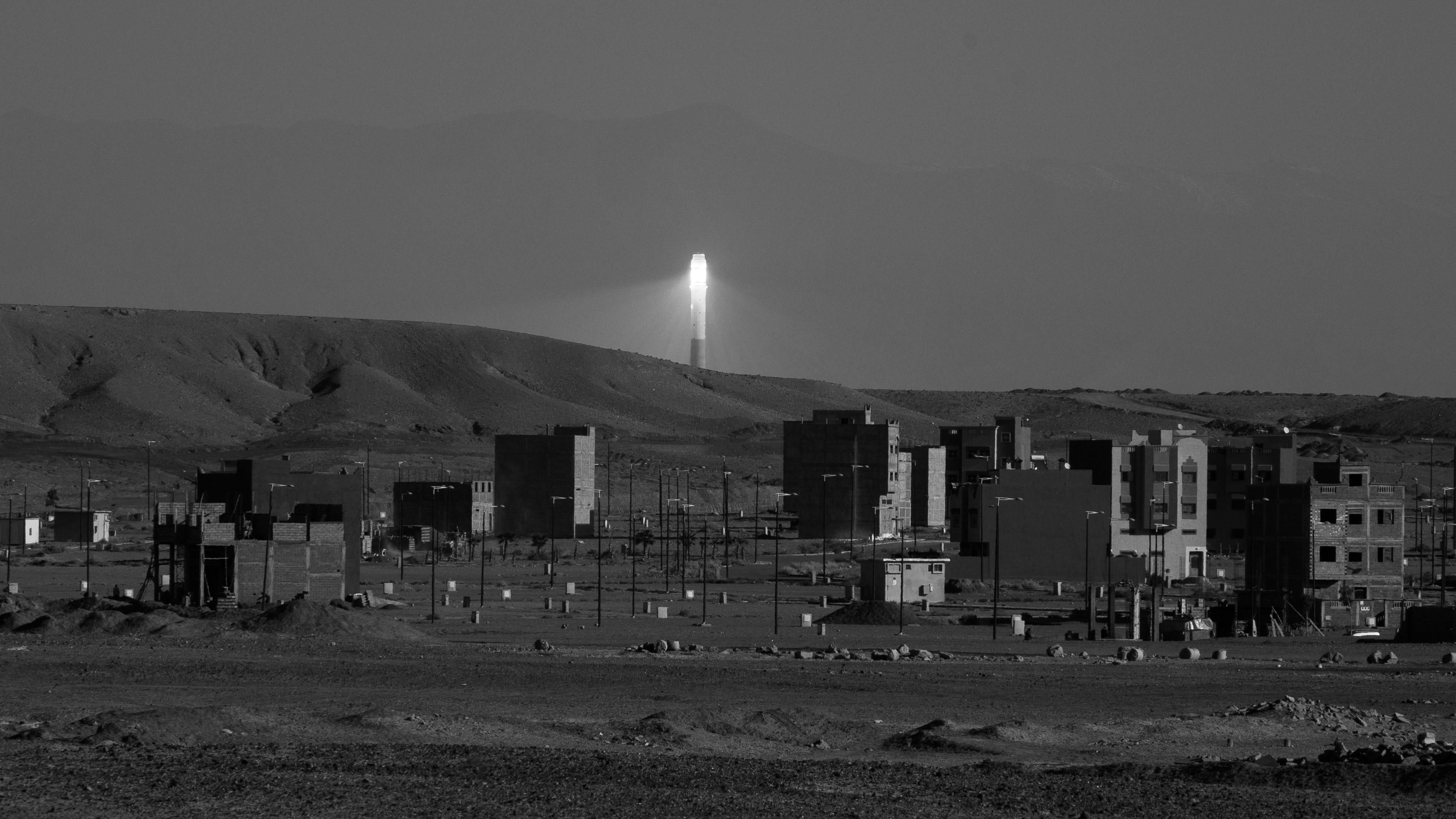
The solar tower of the Ouarzazate Solar Power Station seen from the Atlas Film Studios, December 2022.
⚙ Operational notes
This will be the second issue going out via 📮 Substack and I’m more than happy with the platform. I‘m even starting to use it for some other projects, such as the 🇨🇭 SGIS IB DP Geography Group.
The first week back at school after the 🎄 Winter Break is done. The DP2 students have their mocks for the next two weeks - which means there is a pile of marking on the horizon 🤦♂️.
🌍 All Geographers
There is a myriad of websites that visualise the current 🔌 energy mix for a country. The data is usually live, or at least recent. They tend to show the energy mix and changes in demand throughout the day, some even mention imports and exports to other countries.
🔗 This one is for 🇨🇭Switzerland (🔗 an article about it from le News). 🔗 This one is for 🇩🇪 Germany and 🔗 here is one for the 🇬🇧 United Kingdom.
🧑🎓 IB DP Geographers
The 🔗 HungerMap from the World Food Programme is so useful for teaching the 🍔 Food and health unit - as well as bits of Unit 2, Unit 3, and Unit 4.
HungerMap is the World Food Programme’s global hunger monitoring system. It combines key metrics from various data sources – such as food security information, weather, population size, conflict, hazards, nutrition information and macro-economic data – to help assess, monitor and predict the magnitude and severity of hunger in near real-time. The resulting analysis is displayed on an interactive map that helps WFP staff, key decision makers and the broader humanitarian community to make more informed and timely decisions relating to food security.
You can click on individual countries to change the scale of information and focus. You can generate regional and national PDF summaries which include a range of data visualisations.
⬆ Updates
🌐 geographyalltheway.com is proud to have a 🔗 partnership with ✈️ Discover the World Education. The geographyalltheway.com logo is now featured on the front page of the DTWE site 😄.
✨ I have added another 20 or so IB DP Geography exam style questions to the searchable database on 🌐 geographyalltheway.com.
👓 Random
🔗 IFTTT stands for ‘if this then that’. The service allows you to ‘connect’ actions between digital services. For example, if you ❤️ favourite a tweet (on Twitter…) then the link in that tweet could be added to your ‘read it later’ service, or added as a line in a spreadsheet, or you could even make your smart bulbs flash (should you even want to). Another use could be to create a tweet of an image you have just posted on Instagram. The idea is that they automate and speed up processes.
I use IFTTT in a range of different ways. The main way is once I add something to a certain collection in raindrop.io (mentioned in issues #8 and #14), which is really quick and easy, it then also gets added to one of the boards I use in Trello (mentioned in issue #20). I then use the Trello boards to plan and structure lessons, collect ideas for these newsletters, and the structure the content I write at 🚀 digitaltechnologies.education.